Jul 20, 2024
Anticipate fire risks with the Climate Performance Diagnosis of Tardigrade AI
NEWS
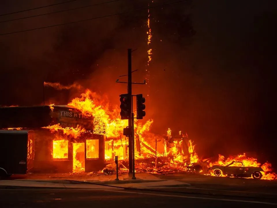
The Fire Weather Index (FWI): a key indicator for assessing fire risk
What should be remembered from the study? The study is based on the Fire Weather Index (FWI), a global standard for assessing fire danger related to climatic conditions. Developed by the Canadian Forest Service, this index measures conditions favorable to the ignition and spread of fires by analyzing several meteorological variables:
• Temperature
• Precipitation
• Relative humidity
• Wind speed
The higher the FWI, the more conducive the conditions are to fire outbreaks. Dry soil, high temperatures, and strong winds significantly increase this index. The value of the FWI allows for classifying the intensity of risk (low, moderate, high).
The Climate Performance Diagnostic (DPC): a solution for businesses
For a business, the first step is to assess the vulnerability of its sites, production means, access routes, or suppliers to climate-related fire risks. This is exactly what the Climate Performance Diagnostic (DPC) from Tardigrade AI proposes, which provides:
• A geolocated risk measurement for the site and its surroundings
• Annual projections according to different greenhouse gas reduction scenarios
• All underlying data to allow risk managers to select priority adaptation actions
Outside forest areas, the FWI is adjusted by a forest-habitat interface index, thus optimizing the anticipation of risks of spread to industrial infrastructures.
Evolution of fire risk in France by 2080
According to the study, France should experience a significant increase in its average FWI:
• Increase of 22% to 44% by 2080 depending on the scenarios
• Increasing from a historical average FWI of 22.18 to values between 26.97 and 31.88
Beyond these averages, it is climate variability that constitutes the main source of risk:
• Multiplication of heatwaves
• Increase in the number of very hot days
• Concentration of precipitation over fewer months in winter
• Scarcity of rainy days in summer
These factors will contribute to a growing number of days where the FWI exceeds critical thresholds, triggering a very high fire risk.
A new geography of fire risk in France
Regions traditionally little affected will see their exposure to risk increase significantly:
• Mountainous areas such as the Vosges and the Massif Central could see their FWI rise by up to 60%
• The danger of fire will extend northward and into central France
This new geographical distribution of risk requires an adaptation of prevention and firefighting strategies, based on a thorough local understanding of the stakes and adaptation measures to be deployed.
FAQ on fire risk and the DPC
What is the Fire Weather Index (FWI)?
The FWI is an international standard developed by the Canadian Forest Service to assess fire danger related to climatic conditions. It analyzes temperature, precipitation, relative humidity, and wind speed to determine conditions favorable to fire outbreaks.
How does the Climate Performance Diagnostic (DPC) help businesses?
The DPC from Tardigrade AI provides a geolocated assessment of fire risk for each site, with year-by-year projections based on different climate scenarios. It allows risk managers to identify priority adaptation actions in the short and medium term.
Which French regions will be most affected by the increase in fire risk?
In addition to the traditionally exposed Mediterranean areas, mountainous regions like the Vosges and the Massif Central will see their risk increase significantly (up to +60%). The north and central France, previously little affected, will also be impacted.
By how much will fire risk increase in France by 2080?
According to recent scientific studies, the average FWI in France is expected to increase by 22% to 44% by 2080, moving from a historical value of 22.18 to values between 26.97 and 31.88 depending on climate scenarios.
How can a business assess its vulnerability to fire risk?
The first step is to perform a Climate Performance Diagnostic that precisely measures the fire risk for a specific site and its future evolution. This diagnostic helps identify critical periods and establish appropriate adaptation strategies.
What is the habitat-forest interface index?
This index complements the FWI outside forest areas to better assess the risks of fire spread to inhabited areas and industrial infrastructures. It is particularly useful for businesses located on the outskirts of wooded areas.